Google is rolling out significant updates for its two flagship navigation apps, Google Maps and Waze, aiming to bridge the gap between the two while maintaining their distinct identities. These new features are designed to make both apps more user-friendly and responsive to real-world driving conditions.
Google Maps Steps Up with Waze-Like Incident Reporting
One of the most notable updates to Google Maps is the integration of Waze-like incident reporting. This feature allows users to report real-time issues on the road, such as road closures, construction, speed cameras, and police presence, using larger, more visible icons. The incident reporting system is interactive, with other drivers able to confirm reported incidents with a simple tap. This update brings Google Maps closer to the real-time, community-driven approach that Waze is known for, making it easier for drivers to stay informed and make safer decisions on the road.
Additionally, Google Maps is introducing a new destination guidance feature that will greatly enhance navigation accuracy. As users approach their destination, the app will now highlight the exact building in red, with a green indicator pointing to the main entrance. This feature is particularly useful in dense urban areas where finding the right building entrance can be challenging. Furthermore, Maps will begin showing nearby parking lots, helping users find parking more efficiently, reducing the stress often associated with city driving.
These updates to Google Maps are being rolled out across Android, iOS, cars with Google built-in, and platforms like Android Auto and Apple CarPlay. The destination guidance feature is expected to be available in the coming weeks, offering users a more intuitive and detailed navigation experience.
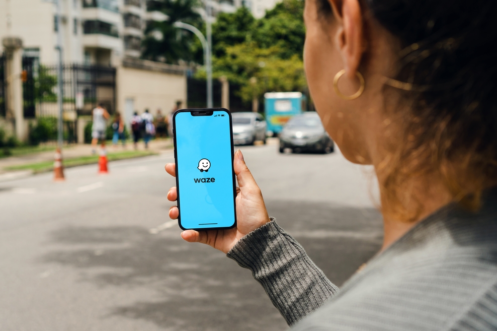
Waze Introduces New Camera Alerts and Event Notifications
Not to be outdone, Waze is also receiving updates that reinforce its position as the go-to app for community-driven navigation. Waze users can now report a wider range of traffic cameras, including those monitoring bus lanes, HOV lanes, seatbelt usage, and whether drivers are texting while driving. This expansion of camera reporting capabilities allows Waze to provide even more detailed information about potential traffic violations, helping users stay informed and avoid fines.
In addition to the new camera alerts, Waze is launching a dedicated experience for event information. This feature will notify users of upcoming events that may affect traffic, such as road closures for marathons, concerts, or sporting events. Users will receive push notifications when an event-related road closure is detected near their home, workplace, or a location they have recently driven through. This proactive approach ensures that Waze users are always aware of potential disruptions to their routes, allowing them to plan ahead and avoid delays.
The new event notification feature will make its debut with the 2024 Olympic Games, offering timely information to users navigating through areas affected by the games. Waze plans to expand this feature to cover future events, making it an invaluable tool for drivers in busy metropolitan areas.
Conclusion: Google Maps and Waze Continue to Evolve
These updates to Google Maps and Waze demonstrate Google’s commitment to enhancing the user experience across its navigation platforms. By integrating some of the best features from each app, Google is ensuring that users have access to the most comprehensive and up-to-date navigation tools available. Whether you’re a Google Maps user who values detailed navigation and destination guidance or a Waze user who relies on community-driven updates and real-time alerts, these new features are designed to make your driving experience smoother and more informed.
For more detailed information, visit The Verge.